2024-09-24 - Snoqualmie Loop - Red Pass, Cascade Crest, Rocky Creek
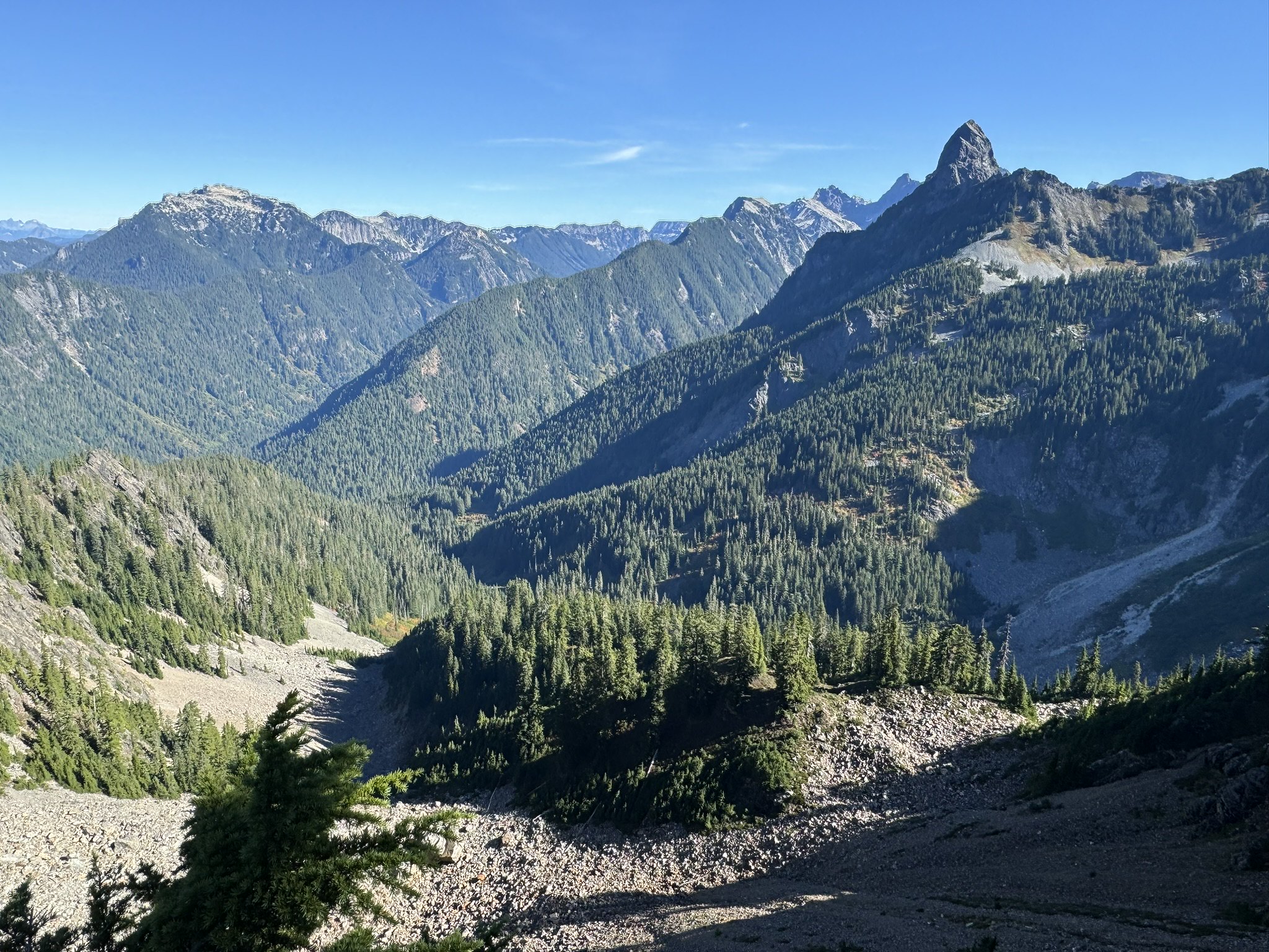
Stats and Links
- Flickr
- 17.5 miles
- 6400ft elevation gain
- Elapsed time: 7h15m
Report
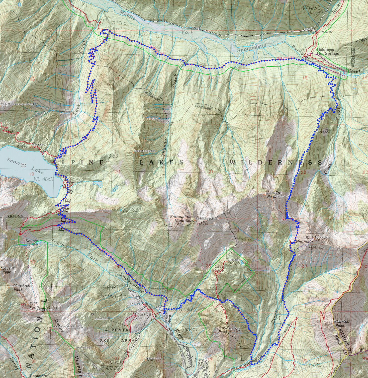
I did this loop counter-clockwise. Except for the Snow Lake section, this is typically a pretty quiet route. For trail runners, it is not great for making fast progress because the trail tread is mostly poor. There is no road walking involved. All the trail used here are in the MapBuilder Overlay of CalTopo.
The beginning of the Guy Peak trail is always surprisingly hard to find for such a commonly used trail. It is best to check your GPS there.
Cave Ridge down to Commonwealth Basin is an unmaintained trail but the tread is fairly good.
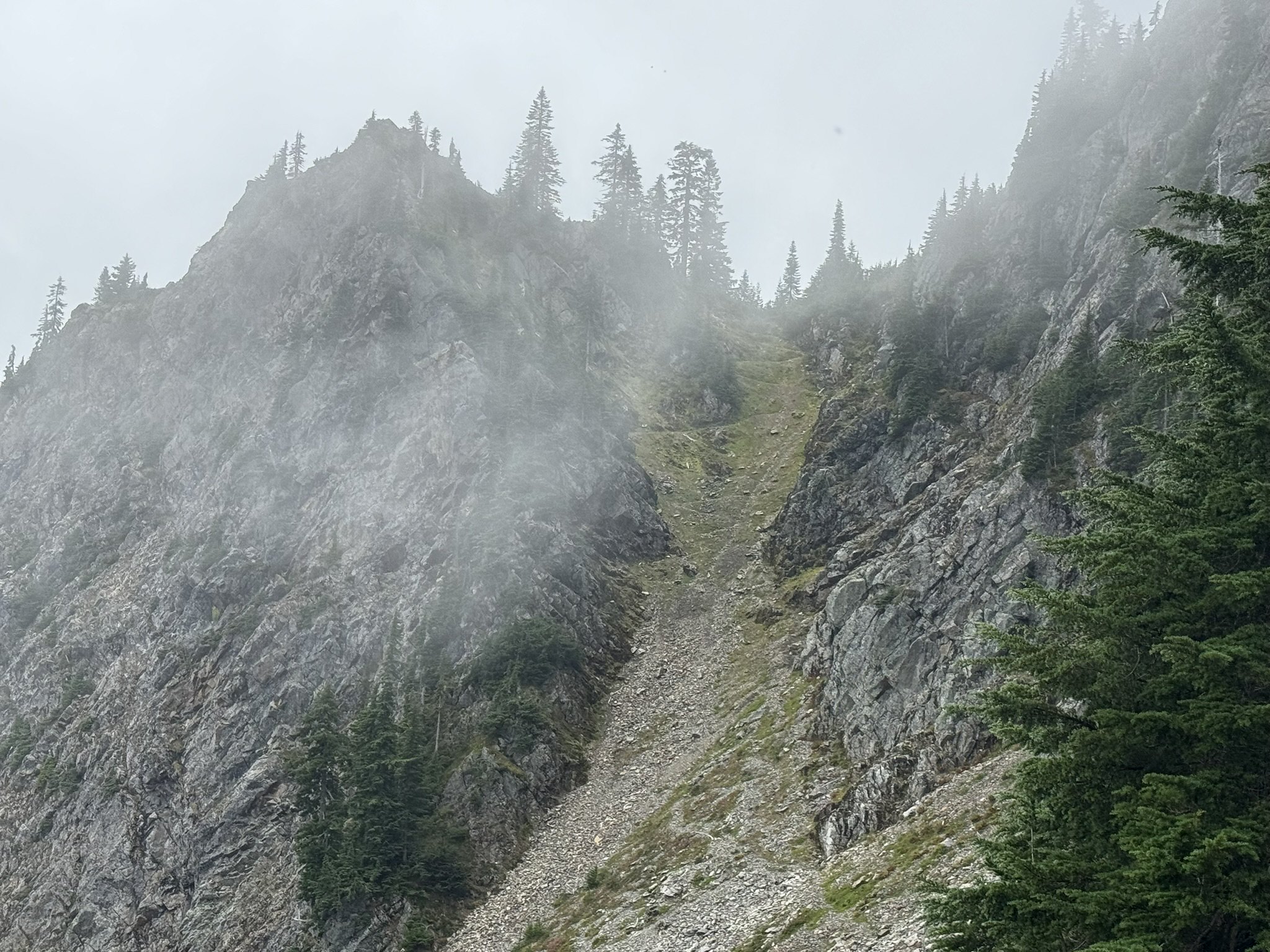
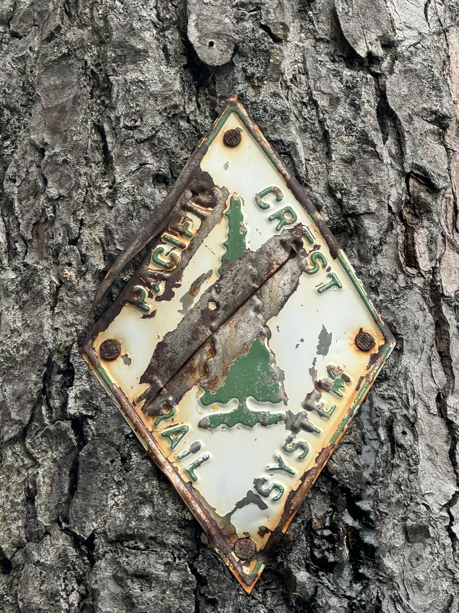
The Cascade Crest trail down from Red Pass to the Middle Fork Snoqualmie Trail is abandoned and the tread is not great. I had to go slow and used to hiking poles for stability. At lower elevation in the Middle Fork there as some very large trees down that has become a bit of a parkour, but nothing impassable.
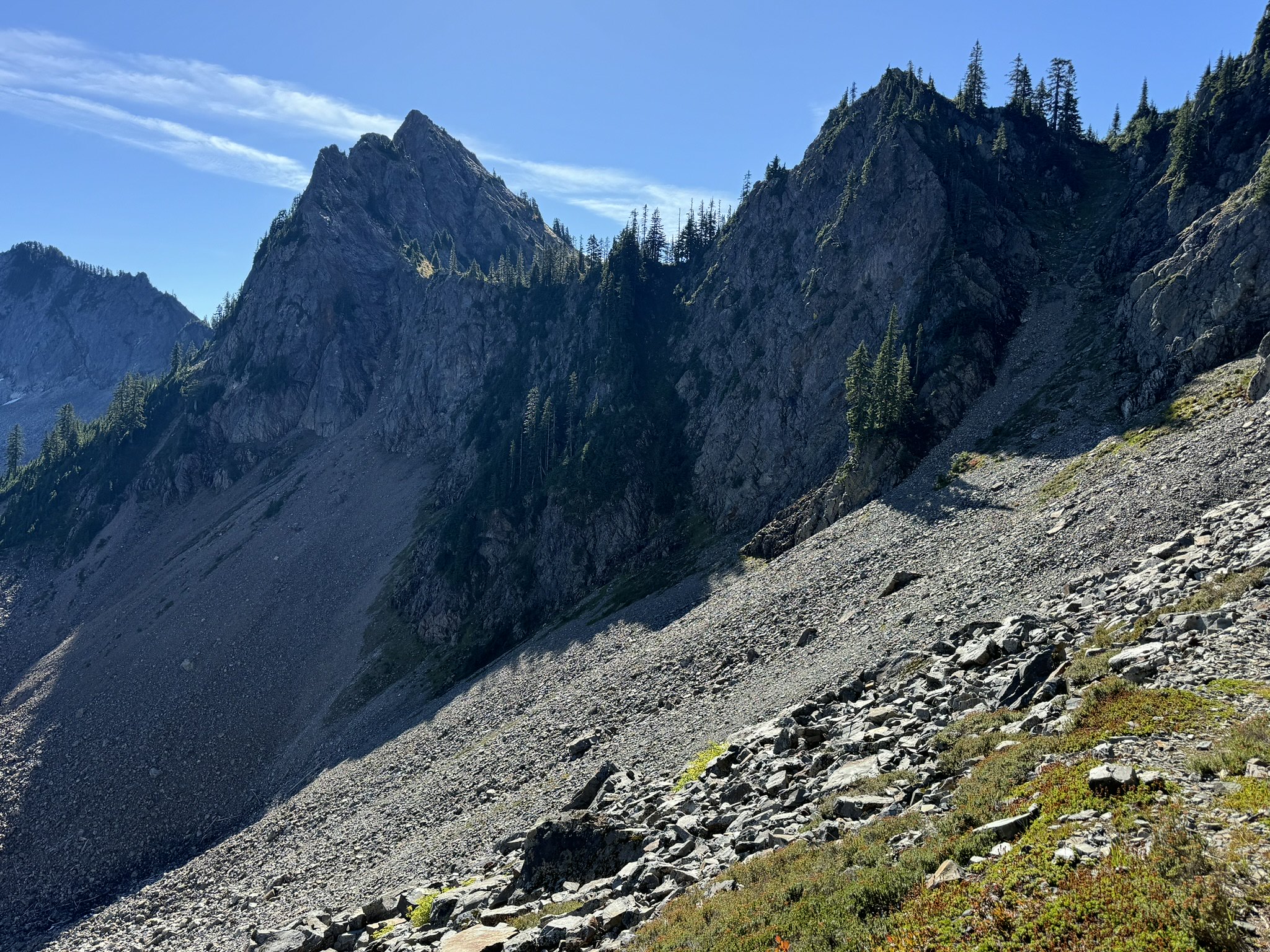
The initial descent from Red Pass on the Cascade Crest trail is quite steep and with poor trail tread. I have not done this trail in early season, but due to the lack of sun exposure, I assume it also holds onto snow for quite a while.
The Rocky Creek trail is is mostly a normal trail. I believe it is maintained and gets enough traffic.
There are plenty of sources of water along the route. I filled up at Burntboot Creek.
Route
Highlights