2026-05-31 - Mt Ruth (Rainier)
Stats and Links
- All photos: Flickr
- 19 miles
- ~8700ft elevation gain
- Strava
- Area: Mount Rainier National Park
Report
Last week I visited Mt Ruth and extended it with Burroughs Mountain. Very enjoyable day.
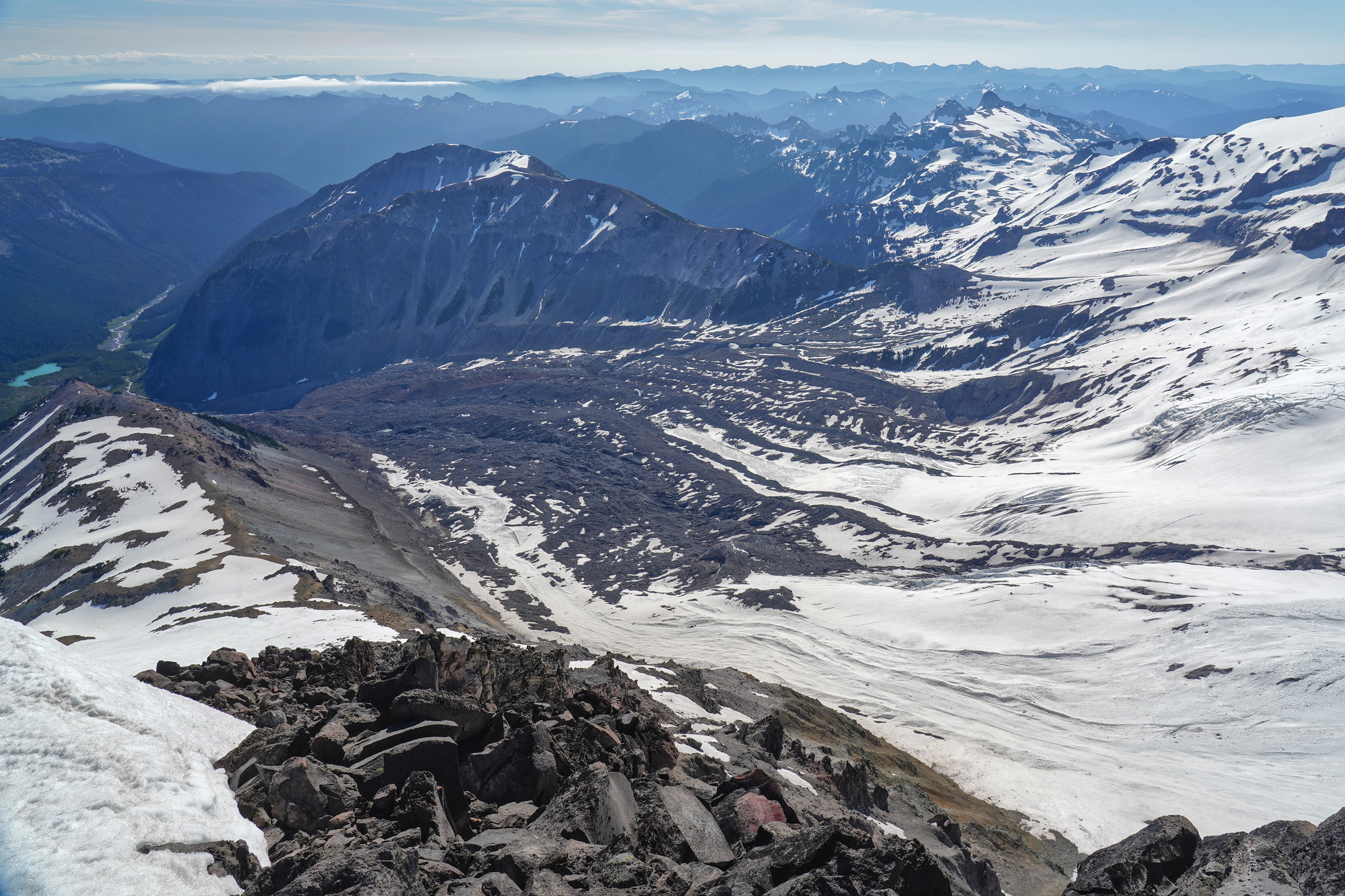
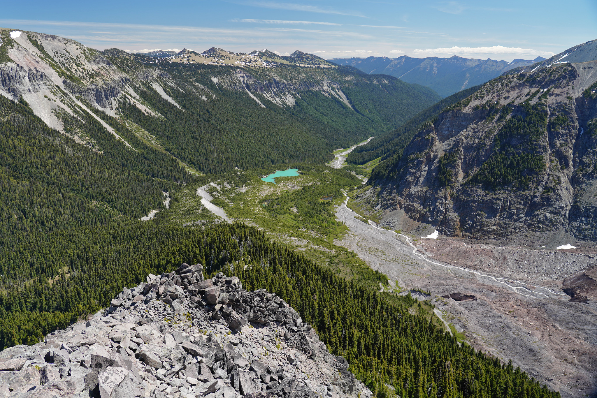
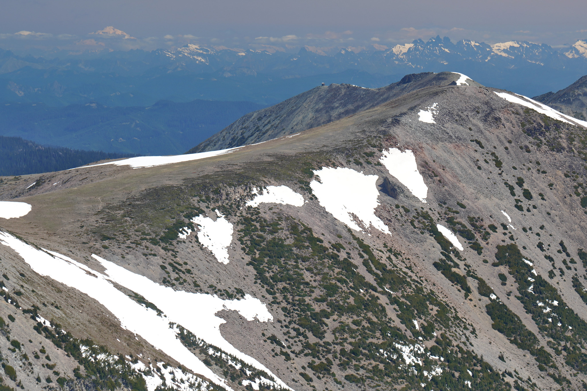
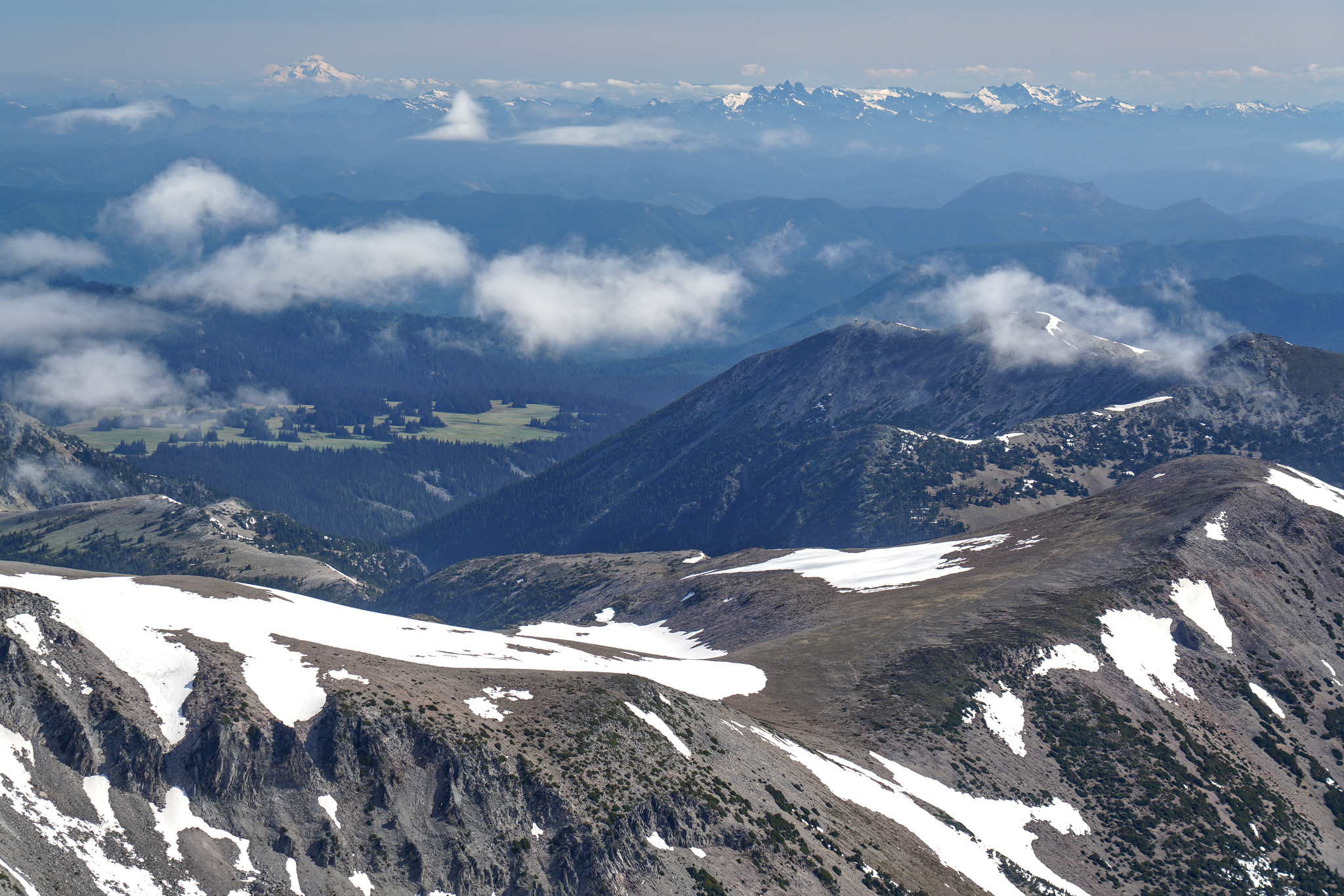
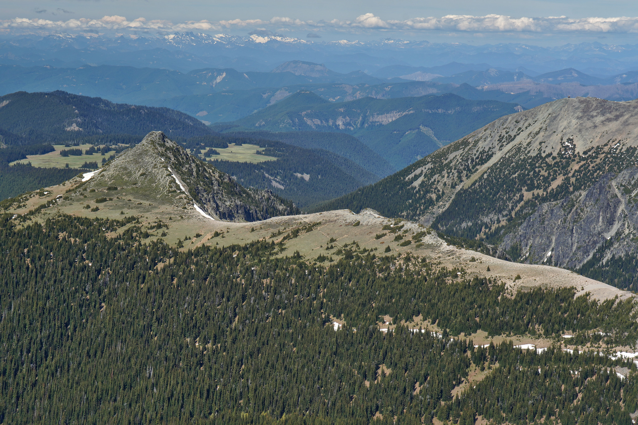
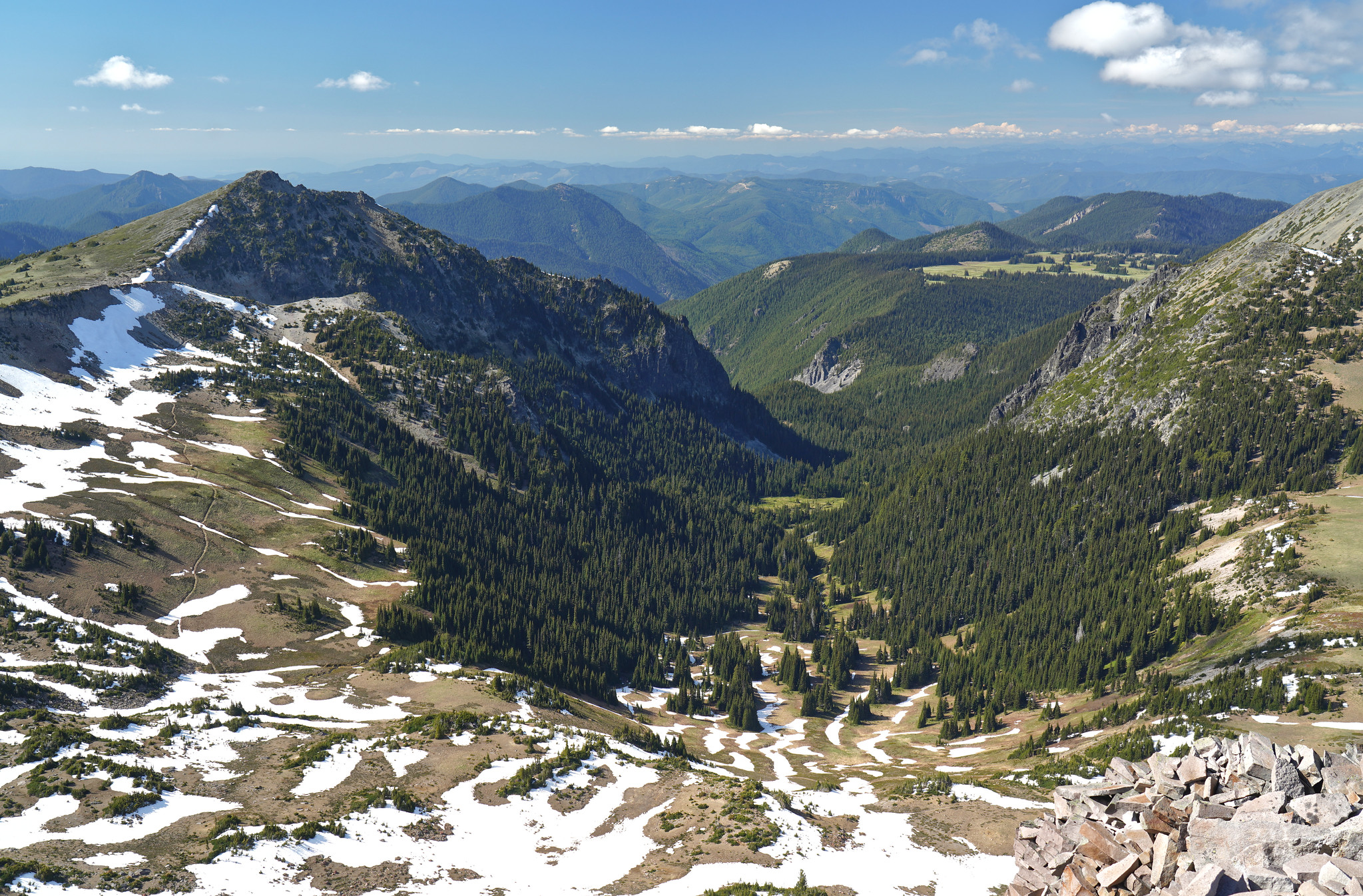
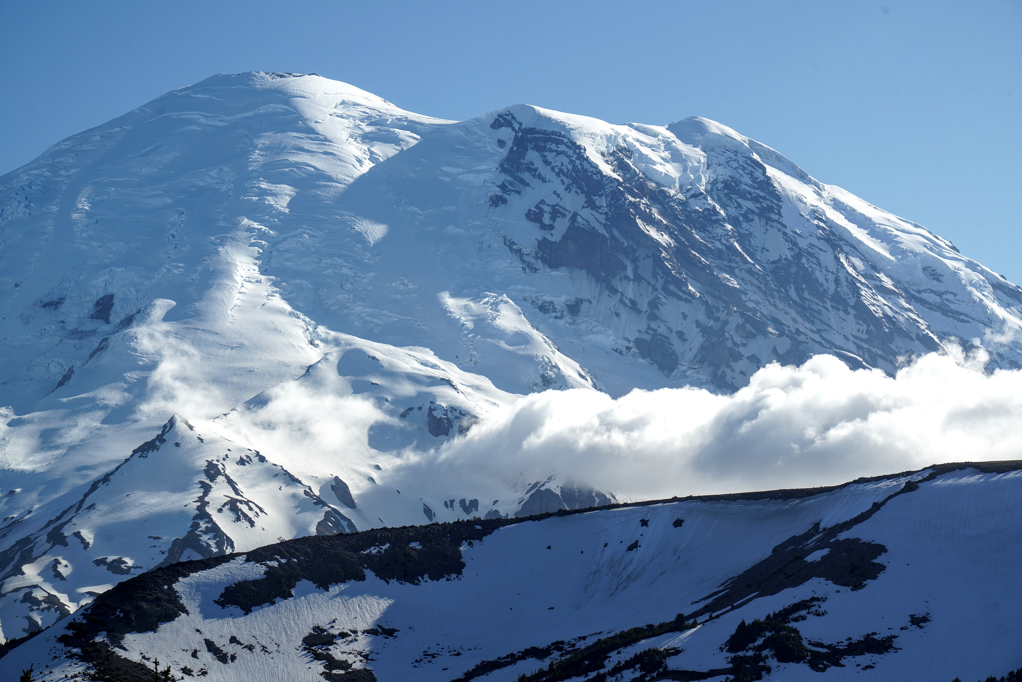
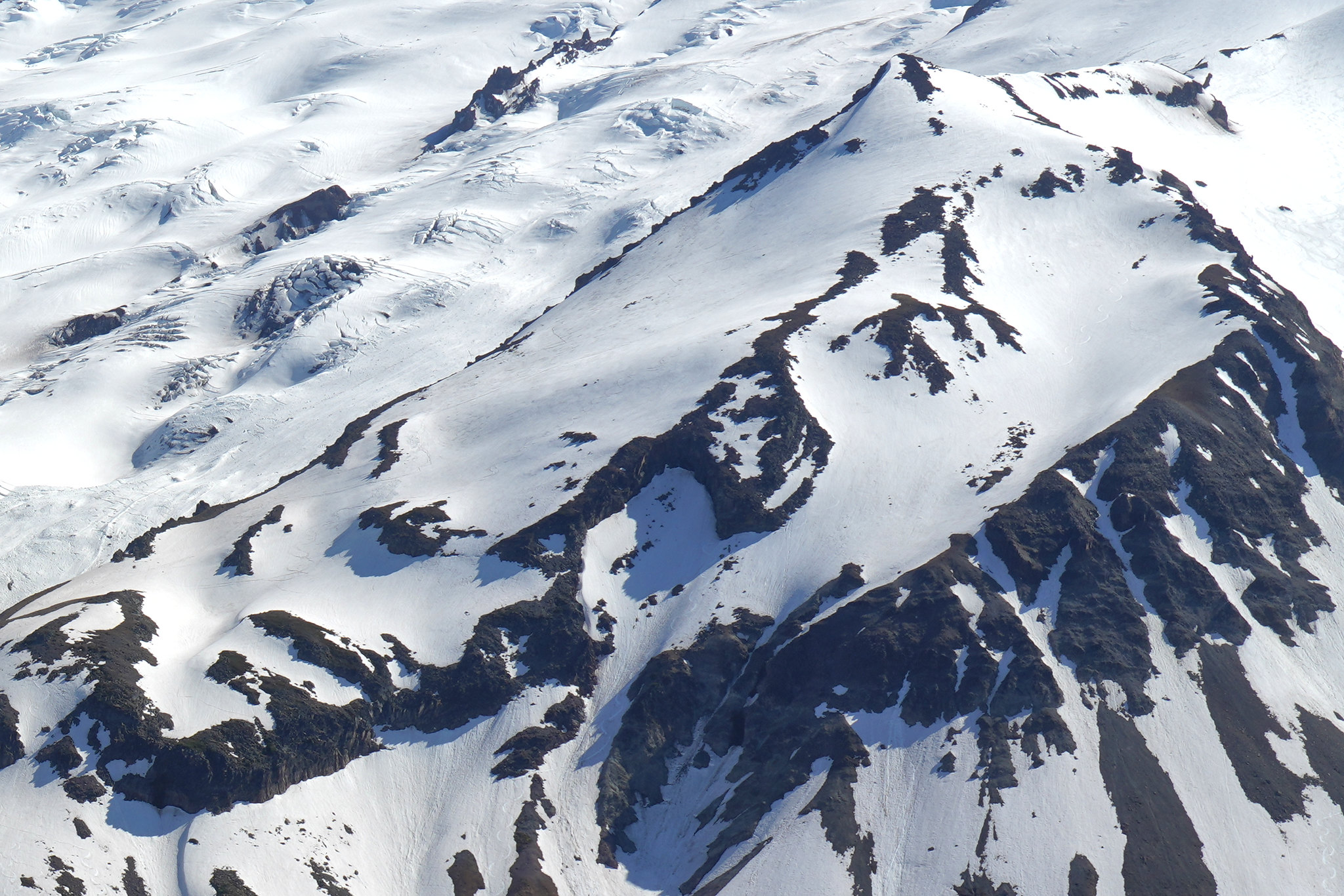
Route to Mt Ruth was in great condition. I went early so I used crampons. Afterwards, I walked down the east ridge a bit, which was very nice. I had intended to go to Steamboat Prow but the remaining snow there looked too sketchy to me. I think I would have been more comfortable going up from the Inter Glacier towards Mt Ruth. Because I now had a lot of time left, I went up to Third Burroughs and walked down via the Sourdough Ridge trail.
Route
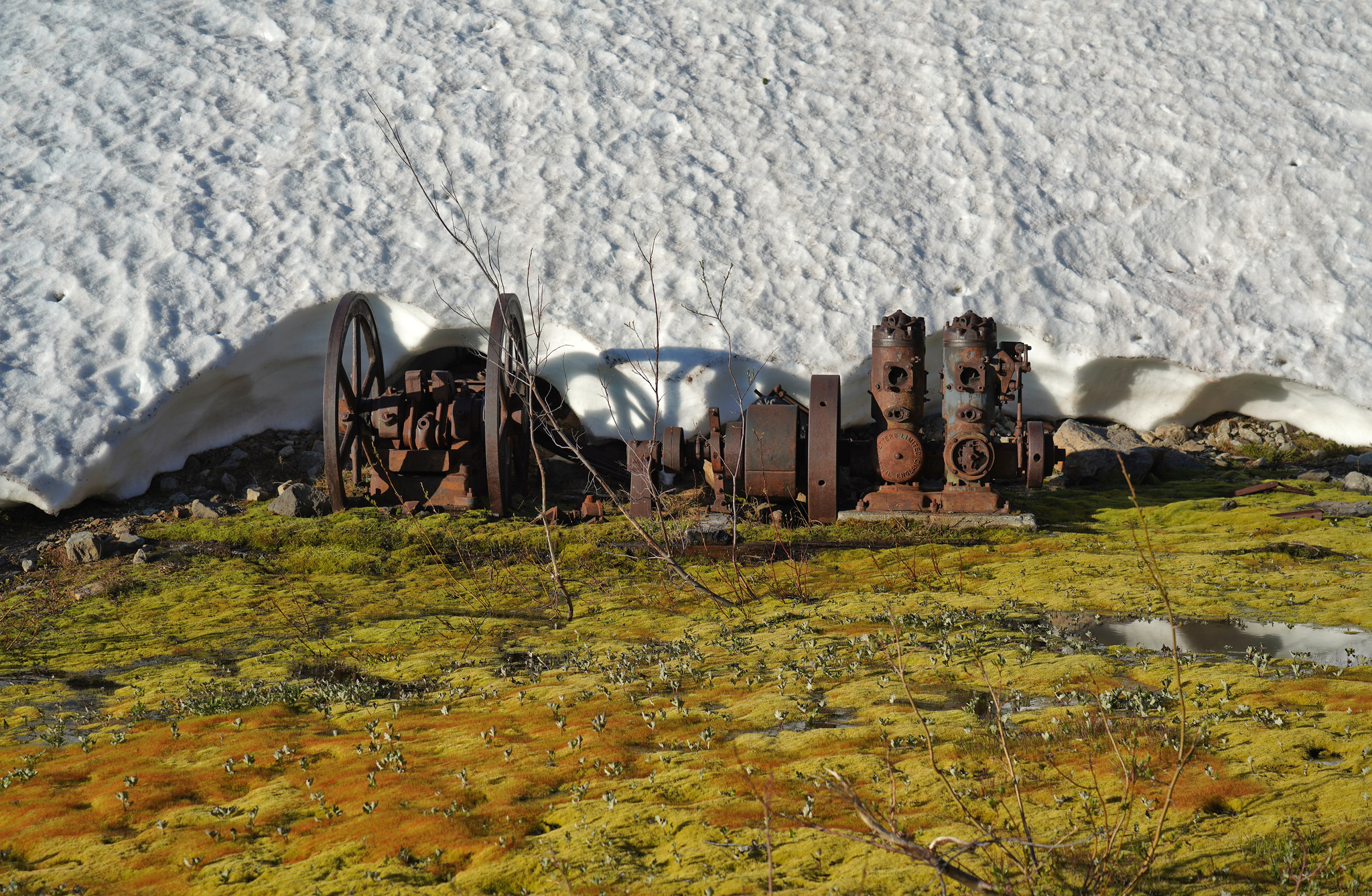
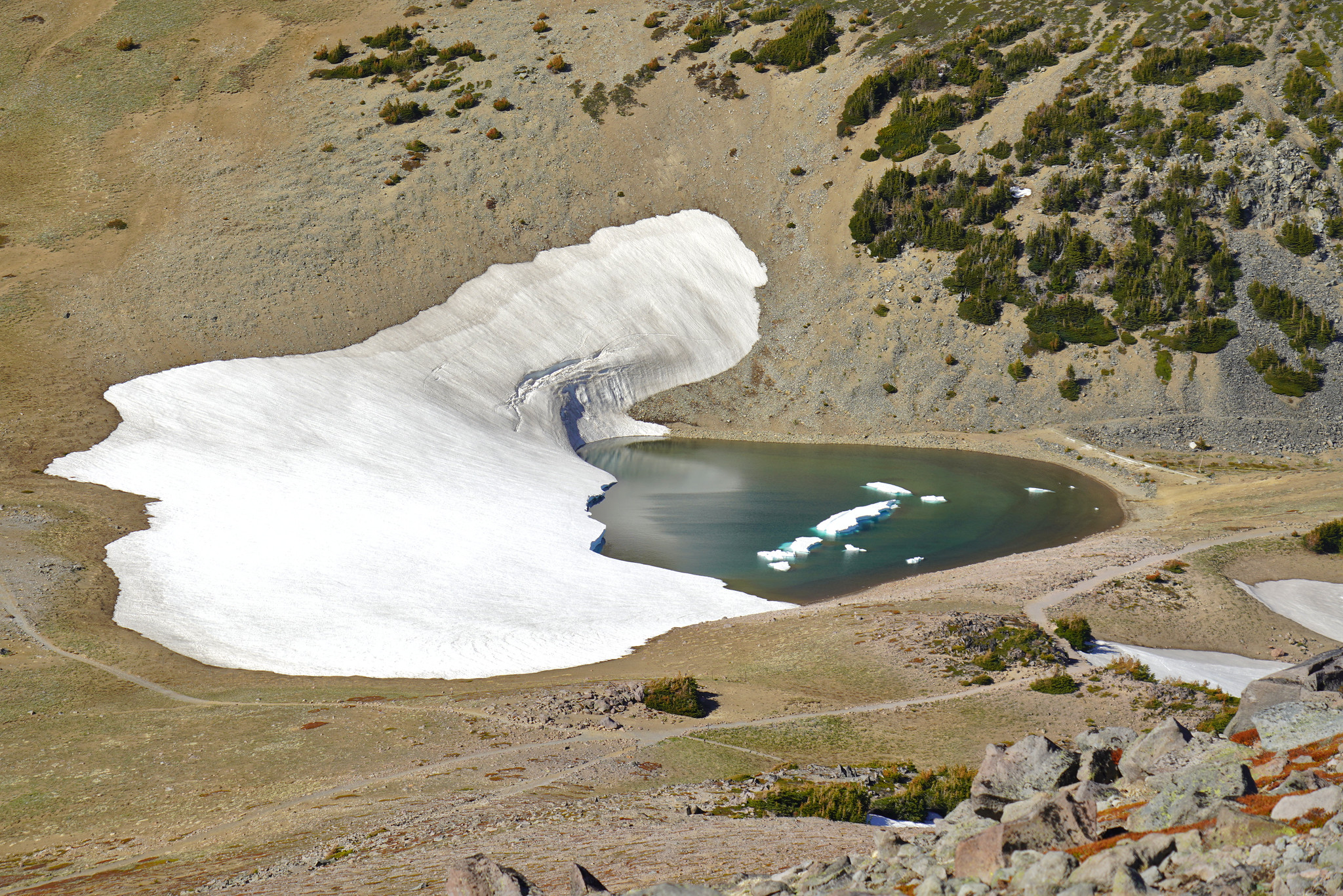
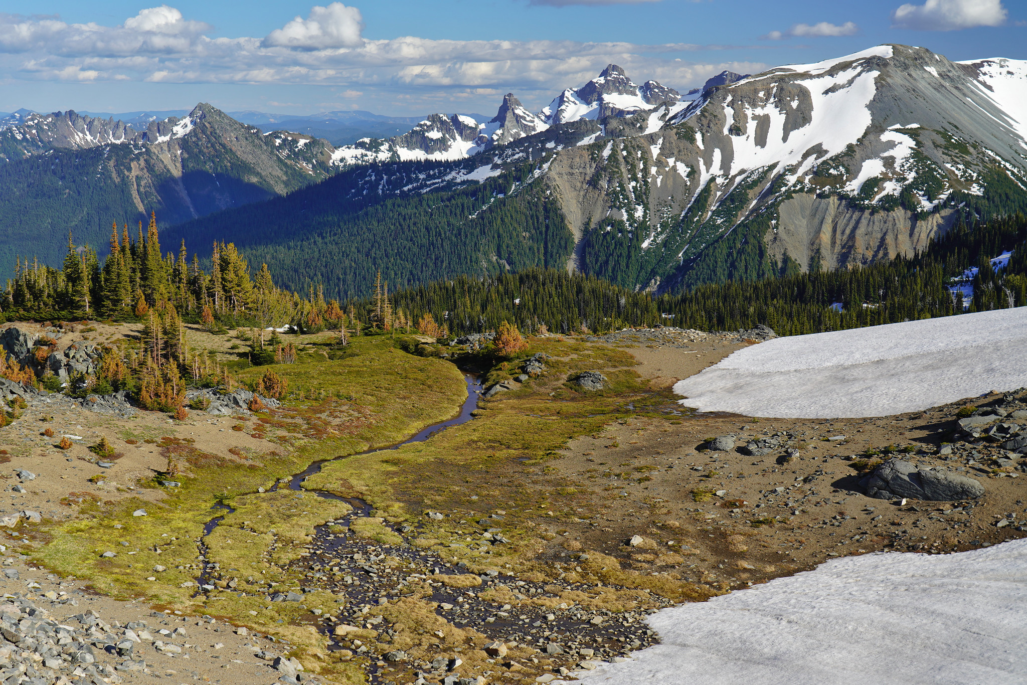
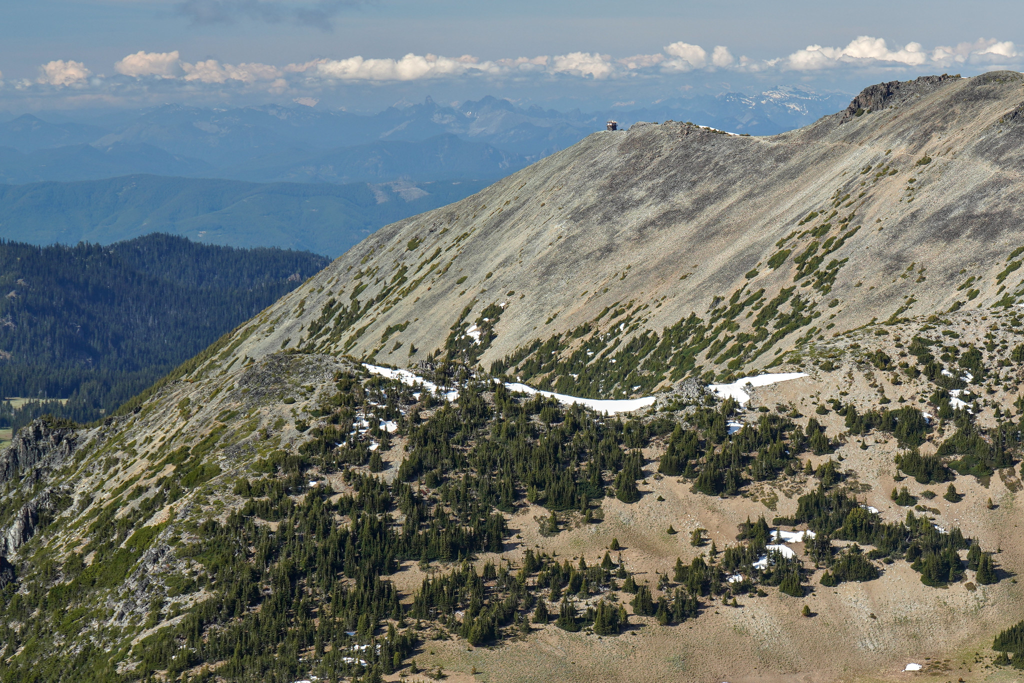
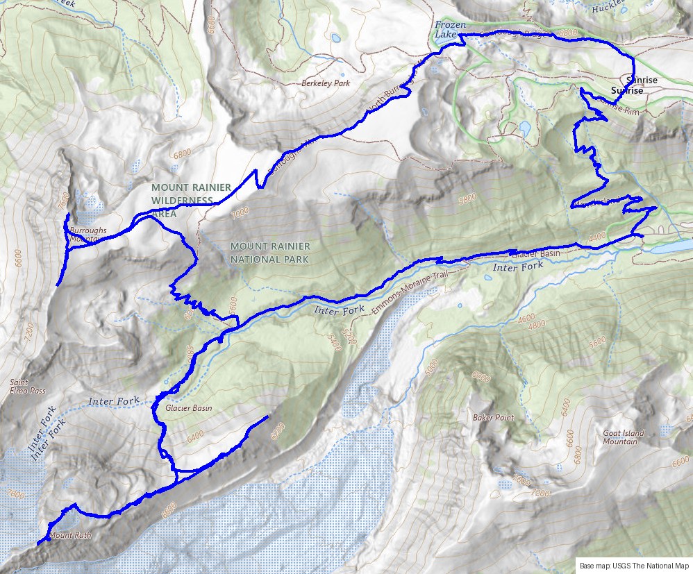
From the Glacier Basin trailhead, up past Glacier Basin and the old mine, onto the Inter Glacier and up to Mt Ruth, with a short descent down the east ridge before returning. From there, up to Third Burroughs Mountain and back down via the Sourdough Ridge Trail past Frozen Lake to Sunrise.
Highlights